
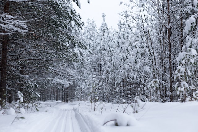
Representative image of Toronto’s extremely cold weather by Tetiana Shyshkina on unsplash
Toronto/CMEDIA: After January’s warmer-than-normal temperature, February is off to a frigid start in parts of Ontario due to the polar vortex descending over Ontario this week and Toronto to see some of the coldest weather in years, Environment Canada reported.
An extreme cold weather alert was issued on Monday by Environment Canada from the Prairies to Labrador and blanket northern Ontario.
The lower Great Lakes area had been inflated with a blast of arctic Thursday night bringing cities like Toronto their coolest temperatures of the season so far.
With its coldest period of weather between Friday pre-dawn and Saturday pre-daw, Toronto may not see temperatures climb out of the minus double digits all day.
While there were several days last January where the temperature dipped into -20 C, the last time the temperature fell below -22 C in Toronto was Jan. 31, 2019.
Besides the core temperatures of Toronto being of concern, with the windchill it could feel close to -30 C at the peak of the cold spell which increases the risk of frostbite to exposed skin.
Toronto’s record low for Feb. 3 is -25 C (set back in 1955) and for Feb. 4 expected to be -24.4 C (set in 1946.).
This extreme cold snap in the GTA is expected to be relatively short-lived and the temperature is forecast to be back above freezing by Sunday, and into the mid-single digits by next week.
#Toronto; #ExtremeColdWeather; #polarvortex