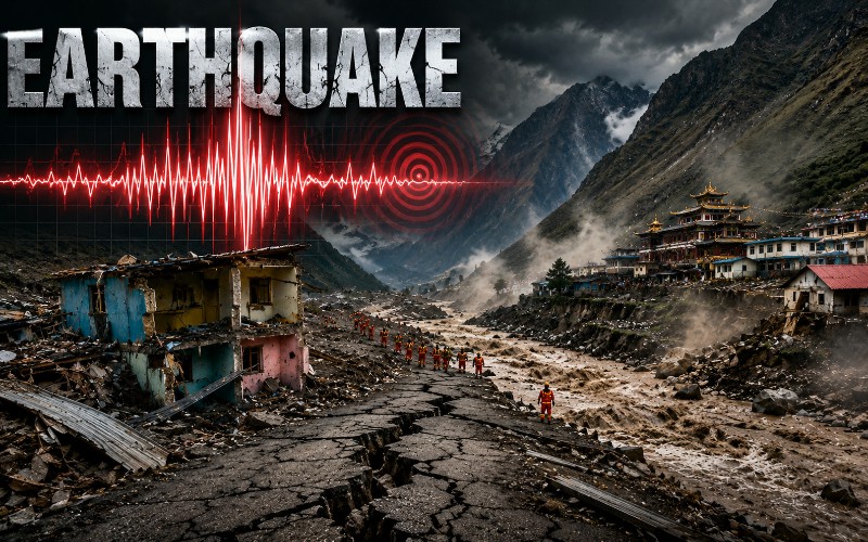
IBNS-CMEDIA: A 5.0-magnitude earthquake has struck northern Tibet as the region remains engaged in an extensive rescue and recovery operation following last week’s devastating glacier collapse and floods along the Nepal-China border.
The tremor occurred at a depth of 10 km, according to the German Research Centre for Geosciences (GFZ).
The epicentre was located hundreds of miles north of the areas in Nepal and China that were devastated by the earlier disaster.
There were no immediate reports of casualties or significant damage linked to the earthquake.
The latest earthquake comes days after a glacier and underlying rock mass collapsed in the Himalayas on August 26, sending enormous quantities of ice, rock, mud and water through river systems in Nepal and Tibet.
The disaster has killed more than 1,200 people in Nepal, while more than 4,200 remain missing, according to the latest reports.
Reuters reported on Thursday that at least 1,204 people had died in Nepal, with more than 4,200 still unaccounted for.
Rescue operations continue in Tibet
Rescue and recovery efforts on the Chinese side have been hampered by severe damage to roads and other infrastructure.
The main road connecting China with the Gyirong border crossing with Nepal has now been reopened, allowing heavy machinery to reach some of the worst-affected areas.
Parts of China’s G216 national highway were washed away by the floods, forcing rescue authorities initially to depend on aircraft to transport equipment and supplies.
Some personnel also had to travel through difficult mountainous terrain on foot.
With road access restored, excavators and other heavy machinery have reached the site of a Chinese border inspection complex that was destroyed in the disaster.
Chinese state broadcaster CCTV reported that rescue teams using life-detection equipment and search dogs have been deployed to search through the debris.
The operation remains challenging because of the mountainous landscape and unstable conditions.
Rain has continued to affect the area, while rescue crews are working in a narrow gorge surrounded by steep and unstable cliffs and a fast-flowing river.
Earlier efforts to restore the damaged road were repeatedly disrupted by strong currents.
CCTV reported that river speeds had reached between 6 and 7 metres per second, several times their normal level, making it difficult for excavators and repair crews to operate safely.
China Anneng, a state-owned rescue organisation, has deployed 158 personnel and 33 pieces of heavy equipment.
CCTV described the operation as one in which “crews rotate, machines keep running”, allowing equipment to remain in continuous use.
Authorities are also working to restore electricity supplies to communities affected by the floods.
Authorities warn of fresh flood risks
Despite the reopening of key transport links, authorities continue to monitor the possibility of further flooding in Tibet.
Several lakes formed after debris from the glacier collapse blocked waterways.
Some have started draining naturally, but officials remain concerned that landslides or another glacier collapse could create fresh blockages and cause sudden surges of water.
The collapse also created a large crater containing an estimated volume of water equivalent to around 260 Olympic swimming pools, CCTV reported.
A Chinese water resources ministry official warned about the instability of such naturally formed barriers.
“These types of dams are structurally very loose and can easily fail because of prolonged saturation and erosion from water,” the official said, according to CCTV.
Authorities are monitoring lakes and other water bodies upstream because any sudden change could threaten rescue teams and communities downstream.
Although the immediate danger posed by some of the lakes has eased, the risk of additional landslides remains.
More than 60 rescuers had trekked into the Chinese disaster zone by Tuesday, carrying out repeated searches through wreckage and debris.
Chinese authorities have reported 16 deaths in Tibet and 546 people still missing in the region.
Nepal continues search for missing people
The situation remains considerably more severe on the Nepalese side of the border.
The August 26 collapse sent a huge mass of ice, rock and mud into the region’s river systems, triggering devastating floods that swept through settlements, destroyed homes and damaged roads, bridges and hydropower infrastructure.
The disaster struck communities in Nepal’s Rasuwa and Nuwakot districts before floodwaters and debris moved further downstream.
The event was linked to a massive mass movement involving a hanging glacier and underlying bedrock in the Langtang region, according to GFZ.
The seismic signal associated with the original disaster was itself unusual.
GFZ said seismometers around the world recorded a moderate earthquake-like event on August 26, with estimates ranging from magnitude 5.2 to 5.7.
Scientists concluded that the signal was most probably generated by the gigantic mass movement rather than being a conventional tectonic earthquake.
Across Nepal, rescue teams continue to search for people missing after the floods.
Several hydropower facilities were badly affected, with workers feared trapped inside tunnels and other structures.
Reuters reported on Thursday that more than 4,200 people remained missing in Nepal following the disaster, while authorities estimate that around 20,000 homes will ultimately need to be rebuilt.
The scale of the destruction has left large stretches of the affected border region cut off or severely damaged, while rescue teams continue to work in difficult conditions to locate survivors and recover victims.
The new earthquake in northern Tibet is geographically separate from the areas directly devastated by the August 26 glacier collapse.
The GFZ assessment places the 5.0-magnitude tremor hundreds of miles north of the flood-hit areas.