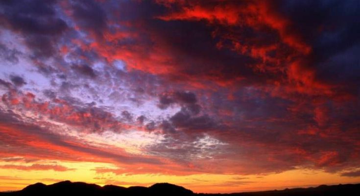
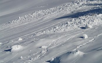
The same weather system that led to the spread of the devastating Labor Day wildfires in 2020 brought record-breaking cold and early-season snowfall to parts of the Rocky Mountains. Now, new research from Portland State is shedding light on the meteorology behind what happened and the impacts of such an extreme weather event, https://phys.org/news/2024-03 reports said.
“It’s really interesting to see such an amplified pattern result in opposing extremes in the Pacific Northwest and the Rocky Mountains,” said Emma Russell, a master’s student in geography and lead author of the study published in the journal Weather and Climate Extremes.
A high-pressure ridge was responsible for the extremely warm temperatures leading up to the event. Russell said the primary atmospheric driver was a highly amplified wave pattern—the strongest on record for that time of year—that persisted for several days. The wave broke, much like an ocean wave breaks, bringing about a strong wind event over western Oregon.
“Even for winter, that would have been a very strong wind event, but for early September, there’s nothing in the observational record quite that strong,” said Paul Loikith, an associate professor of geography and director of PSU’s Climate Science Lab.
The warm temperatures coupled with the strong and dry easterly winds fueled several large wildfires, which ultimately led to the evacuation of over 40,000 people, the destruction of 5,000 homes and businesses and the loss of nine lives in Oregon. The widespread wildfire smoke then led to abnormally high levels of air pollution across the region for the following two weeks. An analysis of air parcel backward trajectories found that the dry air over the Pacific Northwest, which exacerbated the fire danger, originated in western Canada at heights over 5,000 meters.
“The air is very dry at these high altitudes and as it descends to the surface, it begins to warm which increases the dryness,” Russell said. “That helps explain where the dry air was coming from.”
That same weather system brought record-setting cold temperatures for the time of year to parts of the Rocky Mountains, the Southwest and the Great Plains, just days after record-setting warmth.
“South of the jet stream is where the air is warmer and north is colder,” Loikith said. “When the peak of the wave is over a region, that’s where you get warm air surging north, and where you have the trough of the wave is where you have cold air surging south. Both were going on adjacent to one another.”
Russell said the event was a confluence of record-breaking intense patterns—and while it’s not outside the realm of possibility that it can happen again, it’s not evident that events like these are becoming more common. One thing we know for sure is that everything’s getting warmer.
“If a similar event does happen again, the warm side will be warmer and the cold side will be less cold,” Loikith said. “We can just assume that it’s always going to be a little bit warmer than it otherwise would have been. The temperature factor is always there.”
The study’s co-authors are Idowu Ajibade, a former PSU professor now at Emory University; James Done from the National Center for Atmospheric Research (NCAR); and Chris Lower, a master’s student in geography at PSU.


