
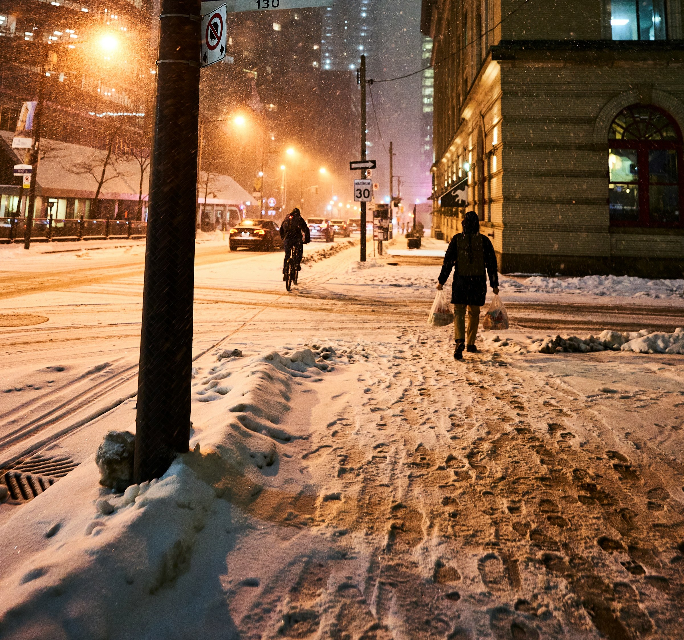
Toronto/CMEDIA: Gearing for its first snowfall of the season, Toronto would expect up to 10 cm of snow on Sunday, Environment Canada reports.
“A low pressure system could bring significant snowfall to parts of southern Ontario on Sunday,” the national weather agency said.
This special weather statement covers most of southern Ontario.
Ahead of a blast of winter weather this weekend, a special weather statement has been issued for Toronto and much of the surrounding area.
Environment Canada (EC), the national weather agency sent out the alert Friday afternoon and said Toronto could see snowfall amounts of two to 10 cm starting Sunday morning and continuing into the evening.
Warning of “difficult winter driving conditions,” EC urges motorists to prepare for delays.
“Motorists should expect difficult winter driving conditions and adjust travel plans accordingly. Poor weather conditions may contribute to transportation delays,” EC said. “Installation of winter tires should be considered prior to Sunday.”
Sunday’s snowfall alert comes amid Friday’s seasonably mild high of 11 C, which will be the last double-digit daytime high Torontonians see for the foreseeable future.
Shortly before 5 a.m today, EC, issued a special weather statement forecasting between two and 10 centimetres of snow across the city beginning Sunday morning.
A wet weekend with freezing evening temperatures and potential snowfall is predicted by the national weather agency.
How is the city responding?
The national weather agency currently forecasts a 30 per cent chance of rain or snow on Saturday evening with a low of -1 C in Toronto.
On Sunday, there’s a forecast of rain or snow in Toronto with a low of -5 C at night, while Monday has a 30 per cent chance of flurries or showers and a low of -4 C, according to Environment Canada’s website.
The weather statement arrives just a day after details of its 2025–26 Winter Services Plan by the city was released announcing an expansion of shelter and housing capacity from Nov.15 through mid-April for people experiencing homelessness.
Included in the plan are approximately 1,275 additional spaces across the shelter system with 244 Warming Centre beds, 490 new shelter and respite spaces, and 175 surge beds activated during extreme cold.
As a precautionary measure due to the forecasted temperatures and expected snow on Sunday, City officials said some winter spaces will open early this weekend.
In total, the city is currently accommodating nearly 9,000 people each night and emphasizes that more than 3,800 people have moved from the shelter system into permanent housing so far this year.
Residents are being urged by EC to continue monitoring forecasts and alerts as conditions evolve throughout the weekend.
Monday will see a daytime high of just 1 C and a high of 4 C is expected on Tuesday with the possibility of isolated showers or wet flurries.
Marking the first wave of winter weather for much of southern Ontario, a meteorologist with Environment Canada, Trudy Kidd said that snow could change to rain if temperatures increase even slightly over what’s forecast for the next few days.
“Do expect a wet one either way,” she said. “Whether it’s rain or snow, it’s going to be messy, so do expect that.”
Kidd said areas closer to Lake Ontario may see around two centimetes of snow, while places further north, such as Aurora and Newmarket, could get as much as 10 to 15 centimetres.
“People in higher terrain will probably see more [snow], and farther from the lake you’ll see more snow,” she said.
Upcoming snowfall prompts special weather statement for parts of northwestern Ontario
“The week ahead I’m seeing temperatures below 9 C every day and our overnight lows are below freezing. So we’re certainly staying on the cold side at least for the foreseeable future,” said Kidd.
Residents in the GTA are advised to keep an eye out for any special weather alerts, as forecasts change, Kidd said.